Mount Tamalpais State Park
A long drive, a short hike, — and an amazing view
By Neil Wiley · September 2026 · Volume MMXXVI, Number 9 · Page 18 · 2 min read
It takes a few hours to reach Marin County, drive up the twists and turns of curving roads up a mountain, then walk a narrow trail for less than two miles. Is it worth it? I can tell you my story and show you a few pictures, but you have to see it to believe it.
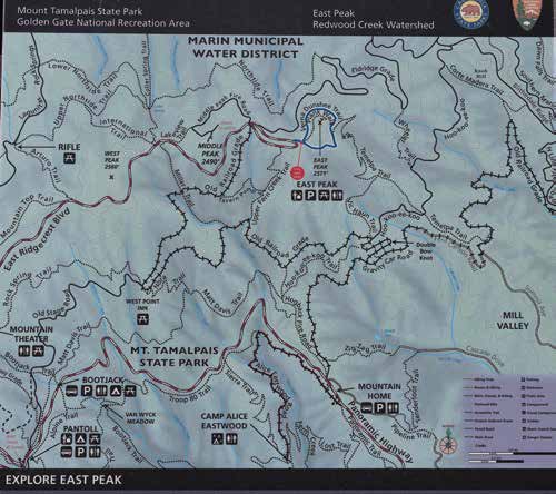
You drive through San Francisco and across the Golden Gate Bridge, then turn left on the Mill Valley/Stinson Beach/Highway 1 exit. From there, you follow many twists, turns, and several road-name changes as you share the roads with bicyclists. Your first turn is a left at Shoreline Highway (Highway 1), then a right turn on Panoramic Highway Drive, continuing to a four-way intersection where you take the middle road to Pantoll Road. You turn right on Pantoll, a right on Ridgecrest Blvd., and a final right to the East Peak parking area. (It is a good idea to use a GPS such as Apple Maps or a passenger who can call out each turn.) The parking lot is large, but the view is not impressive. You place cash in an envelope ($8 per car, $7 for seniors) to cover your entry fee.
It’s a short walk to the visitor center where you see a large map display, bathrooms, trail signs, and friendly, hungry crows. Signs at each end of the visitor center direct you to the loop of the popular 1.7-mile Verna Dunshee Trail. You can start at either end. If you stay on the main trail, you have no climbs. Walkers and wheelchair users are welcome. Bicyclists are not.
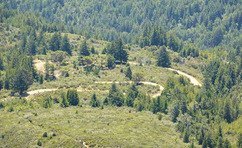
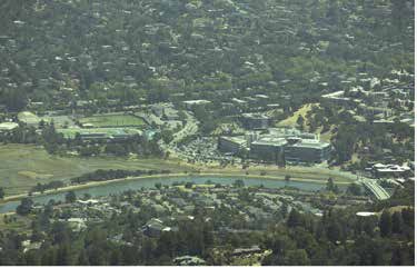
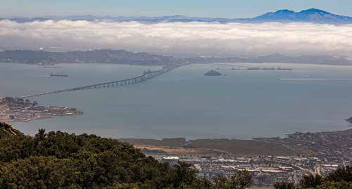
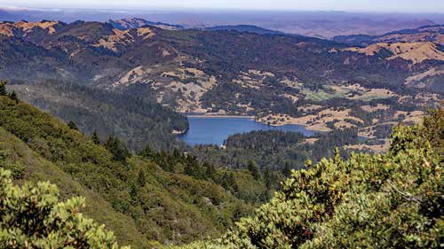
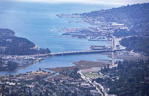
Walking to your right and counterclockwise on the trail, your first viewpoint is at a picnic area overlooking the Tiburon Peninsula, Richardson Bay, Sausalito, San Francisco, and the Marin Headlands. You reach an observation deck in a quarter mile where you can see the Richmond-San Rafael Bridge, San Francisco Bay, and the distant Mount Diablo. You may even see some of our Santa Cruz Mountains. The views also disclose local trails that promise interesting exploration. My own favorite view comes later with the quiet beauty of Bon Tempe Lake nestled in the Marin Hills. (By the way, Bon Tempe Lake offers a nice hike along the shore.)
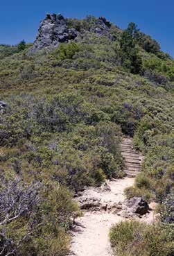
If you want an even higher view, you can use the Plank Walk Trail up 0.3 miles to the Gardner Lookout. You may have something close to a 360-degree view from the highest point on the highest of the three Tamalpais The East Peak is only one element of Mount Tamalpais State Park. The park offers hiking on interesting trails, picnicking, and wildlife. You can camp at Pantoll or Bootjack Campgrounds, reserve a group campsite at Alice Eastwood Group Camp, or rent a rustic cabin or seaside campsite at the Steep Ravine Cabins and Environmental Campground. The nearby Mountain Theater hosts outdoor plays and astronomy From my view, Mount Tamalpais is interesting. You might want to give it a look.